Geographical Information Systems (GIS)
Spatial X
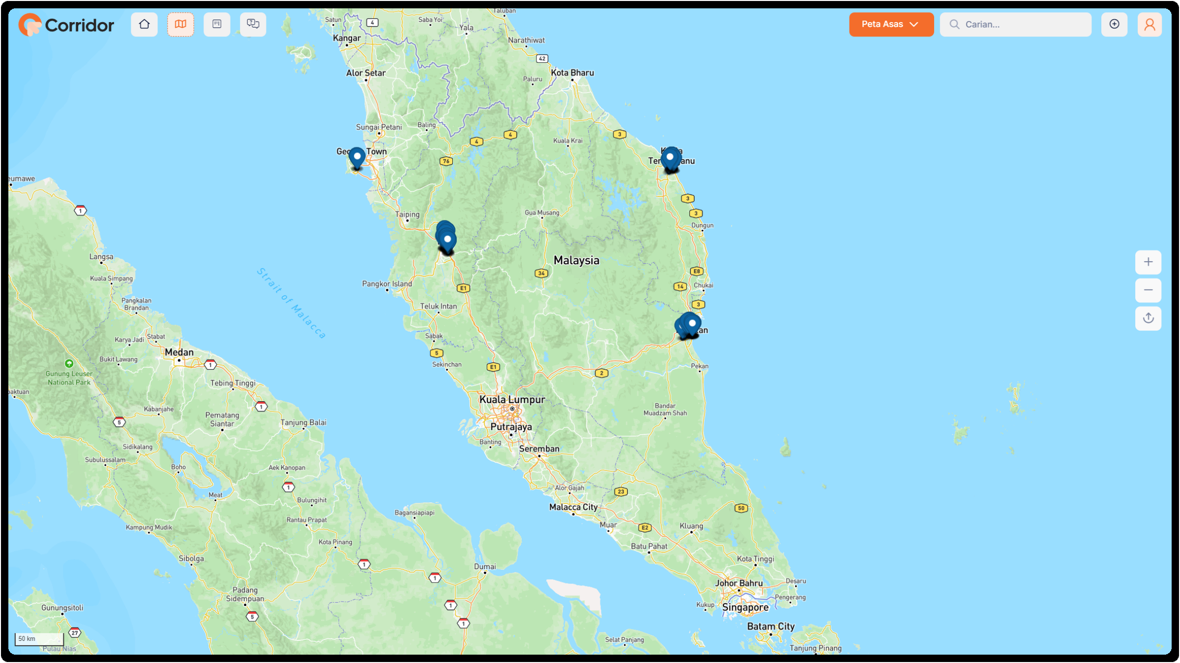
The first platform that make it easier to update GIS data on top of satellite images with only drag and drop features. Enable Government authority to see real time GIS mapping on their region.

The first platform that make it easier to update GIS data on top of satellite images with only drag and drop features. Enable Government authority to see real time GIS mapping on their region.
